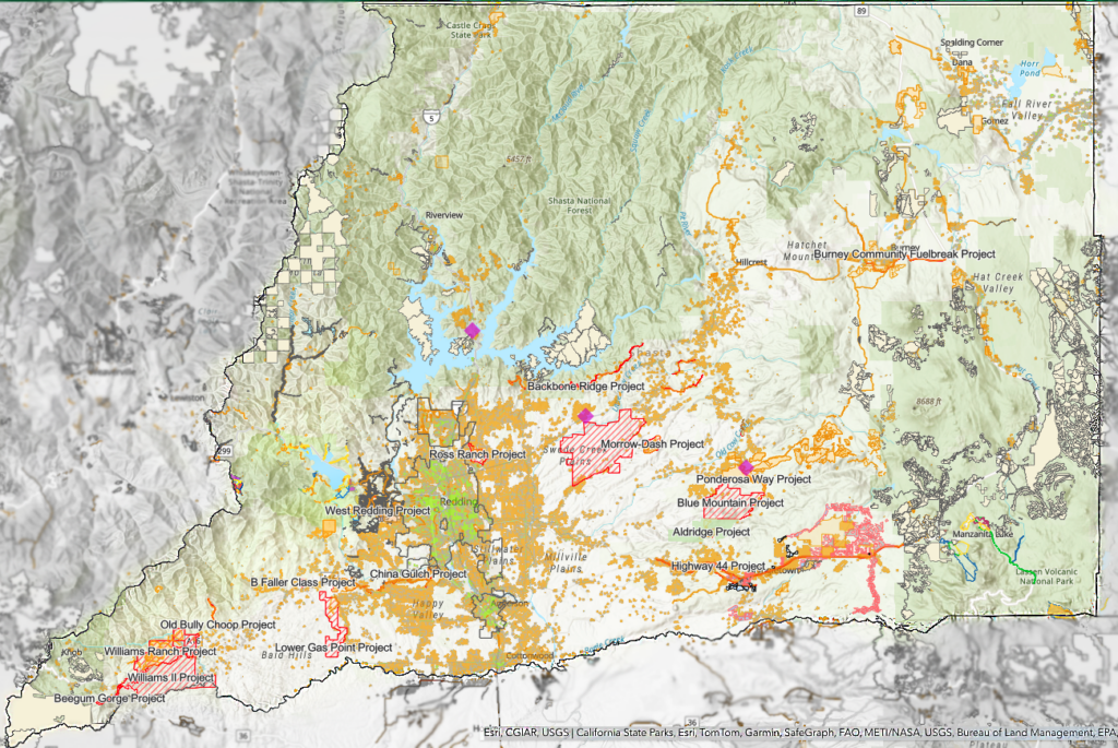
The Shasta County Fire Safe Council has launched a powerful new mapping tool to boost wildfire readiness efforts across Shasta County!
Our interactive map is the go-to resource for planning and implementing fuels reduction projects, bringing together multiple organizations and stakeholders under one digital roof. Discover a comprehensive list of completed and ongoing projects, along with essential data like fuel types, population density, and fire history. Plus, our map is regularly updated to ensure you have the latest information at your fingertips!
Explore various layers of information with just a click of a checkbox and get detailed insights by tapping the “information” button in the upper right-hand corner of the map. Our goal is to create a master map for Shasta County, providing a centralized hub for coordinating wildfire mitigation efforts and protecting our communities.
View The Map
https://experience.arcgis.com/experience/12e21b99d31d4a9fb6080d27d38cfc2e/


